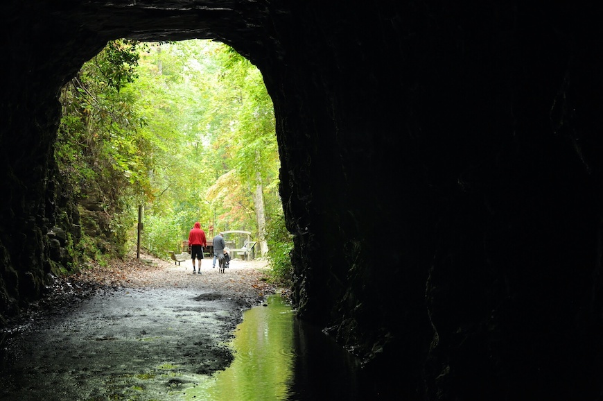
Carved into a mountain just outside of Walhalla, SC, you’ll find an abandoned, uncompleted train tunnel dating back to the 19th century. Hand-chiseled by Irish miners, Stumphouse Tunnel was meant to connect a railroad line from Anderson, SC, to Knoxville, TN, before funding halted in 1859. About a century later, Clemson University used it to cure blue cheese, but today it’s a tourist attraction owned by the City of Walhalla.
While Stumphouse Tunnel is one of the most unique sites in upstate South Carolina, it’s only about a quarter-mile long and not worth a trip in and of itself. Instead, I recommend combining a visit with two nearby hikes: Yellow Branch Falls and Station Cove Falls. In this one-day excursion to Walhalla, you’ll hike about 6 miles and see the tunnel, three waterfalls, and a historic military outpost.
Stumphouse Tunnel
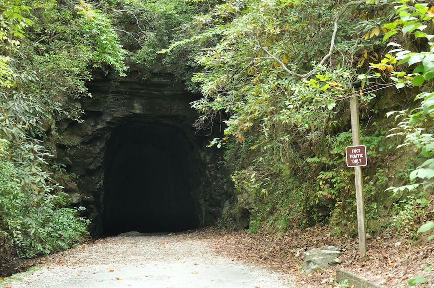
I recommend starting with Stumphouse Tunnel first because it can get a bit busy. There is a $5 per car admission fee for Stumphouse Park and you’ll pay at an unmanned pay station upon entering, so don’t forget to bring cash.
After entering the park, follow signs and head down the road until you reach the cul de sac, where you can park. If it’s already filled up, turn back down the road and park in the nearby picnic area (where there are also bathrooms).
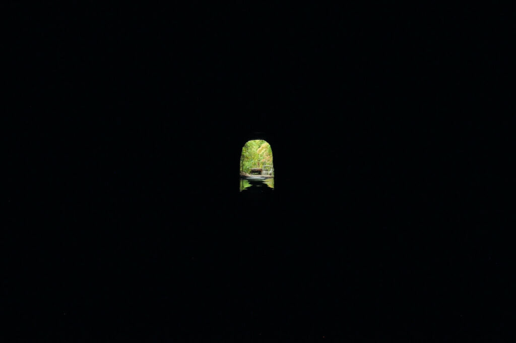
The tunnel is cool and not exactly waterproof, so wear closed-toed shoes and bring a jacket. You don’t have to venture too far in before it gets pitch black, so don’t forget a flashlight either, (a cell phone light might suffice, but I would advise bringing something a little brighter). We spent just under 20 minutes checking out the tunnel, including walking to the end and back.
Issaqueena Falls
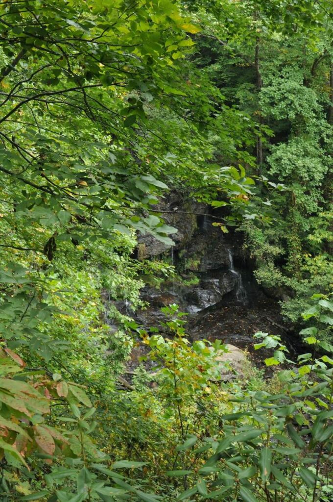
After visiting the tunnel, head back down the road for our first waterfall of the day, Issaqueena Falls.
There’s a short walk to an observation deck, but you’ll probably get the best view of these 200-foot-tall waterfalls if you climb down to the base. Full disclosure: The park does not encourage venturing to the bottom, because it is a steep way down. If you decide to do it, wear proper foot attire — despite having my hiking boots with me, I was dumb and tried to venture down in my slip-on Skechers, but didn’t make it all the way.
Unfortunately, as you can see from the photos, the falls weren’t impressive on the day we went (here’s what they can look like). I’m guessing this will be a waterfall worth visiting in the winter when the tree foliage doesn’t block as much of your view.
Yellow Branch Falls
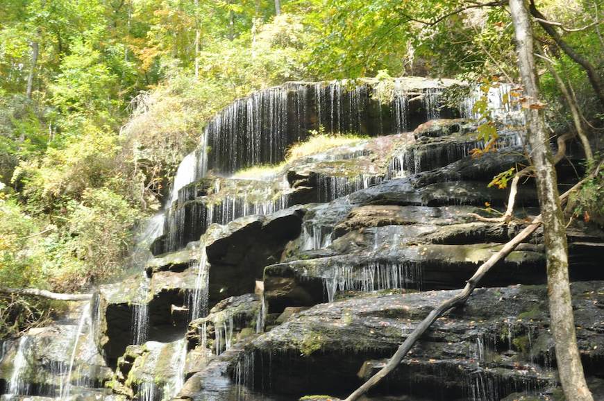
Our next stop is just across the street from Stumphouse Park.
Yellow Branch Falls is a 50-foot-tall waterfall and you’ll hike 1.5 miles to get to its base, for a 3-mile round trip. AllTrails puts it at just under 465 feet in elevation gain and rates it as moderate, but I think it’s an easy hike, and we saw a lot of families on the trail.
This is also a popular hike, and the main parking lot was full when we arrived at noon on a Sunday in October, so we ended up parking in a smaller lot up the road. There are also toilets at the main lot.
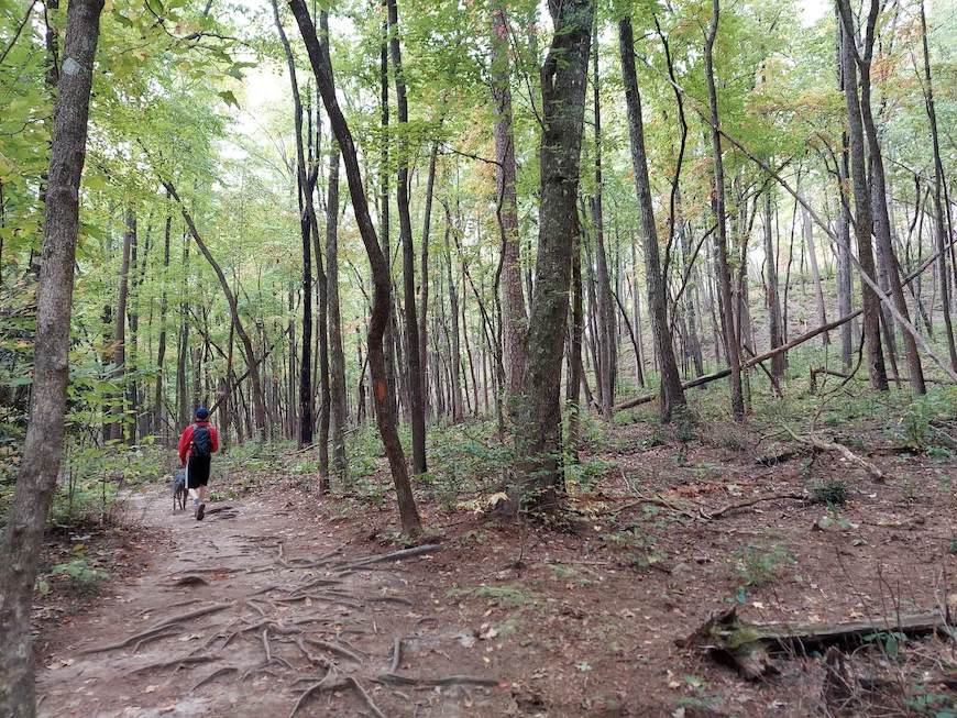
The trail is easy to follow and relatively smooth. There are a couple of water crossings. Poles might be useful for those, but we did fine without them. The base of the falls is a good place to stop for a snack and there is a shallow pool, so I imagine it would be a good spot for wading on a hot summer day.
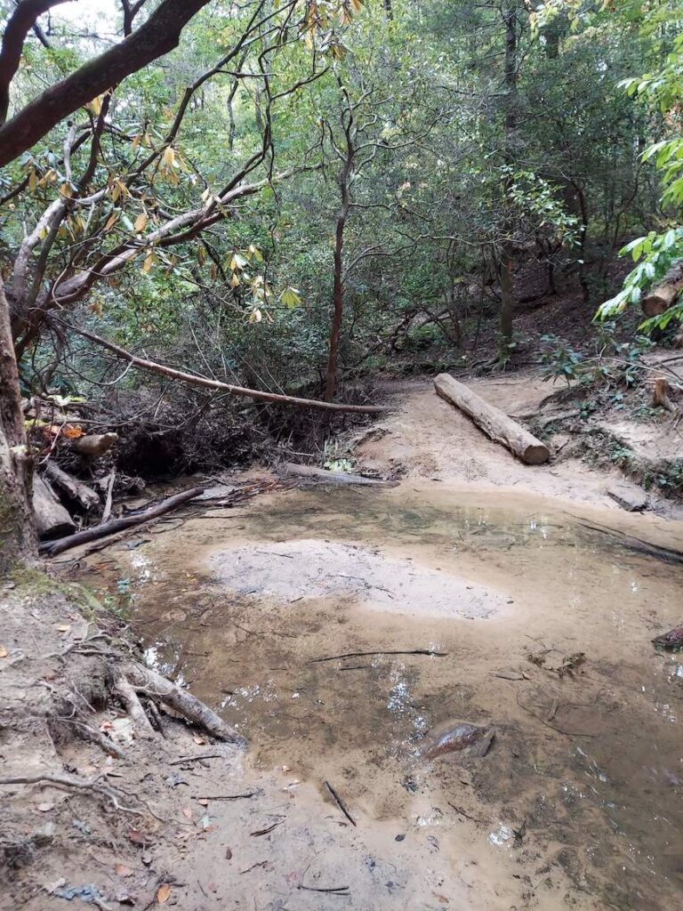
Between hiking and checking out the falls, we spent just over 90 minutes at this stop.
Oconee Station and Station Cove Falls
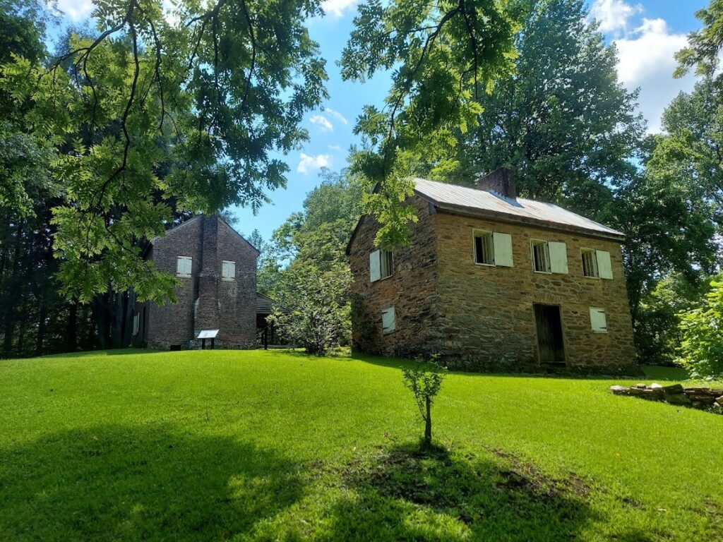
Our third and final stop of the day is Oconee Station and Station Cove Falls, about 11 miles from the Yellow Branch Falls trailhead.
Oconee Station is a historic site dating back to the late 1700s. A stone house was originally built on the grounds as a state military outpost in 1792, in response to raids by the Creek Indians. Not long after, it became used as a trading post by Irish immigrant William Richards, who built his own two-story brick house next to the outpost. Both buildings are still standing and free for visitors to check out.
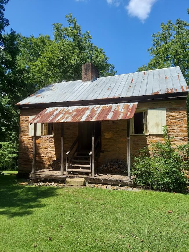
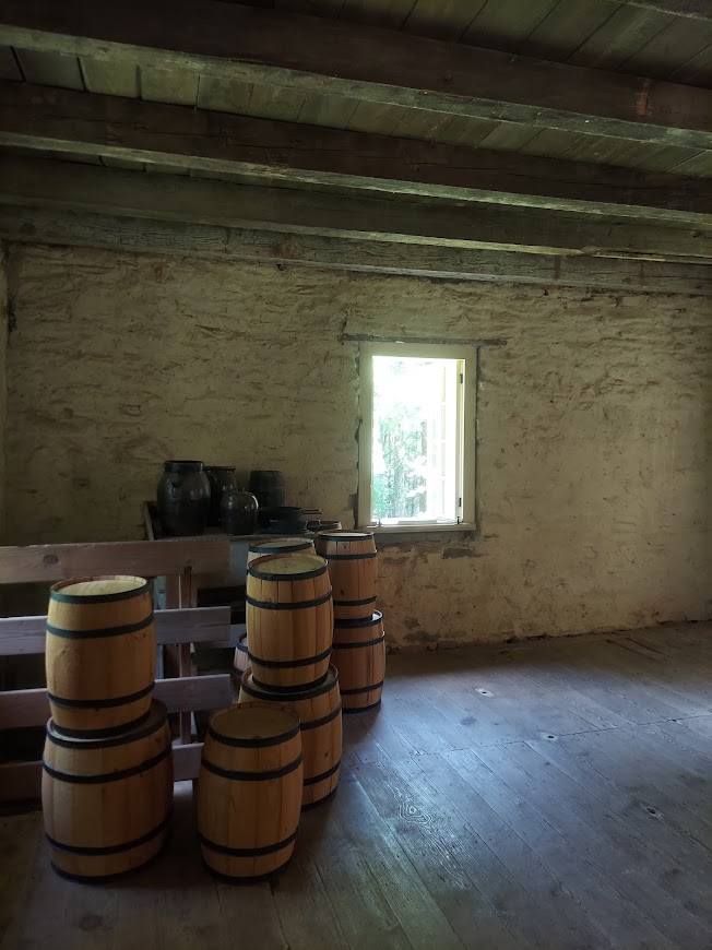
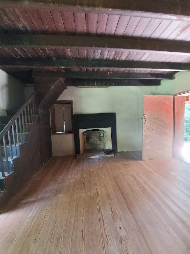
Across the street from the historic site is the start of a trail that will take you to Station Cove Falls, our third and final waterfall of the day. Oconee Station says it’s 1.5 miles one way, for a 3-mile roundtrip, but my watch logged it at a total 2.7 miles. You also have the option of cutting the hike by driving up to the trailhead on Oconee Station Road, which is about a quarter mile from Oconee Station. Either option is easy to follow and not very strenuous (AllTrails says there’s less than 100 feet in elevation gain for the hike starting at Oconee Station). We spent just under an hour and half along the trail, an hour of which was actual hiking.
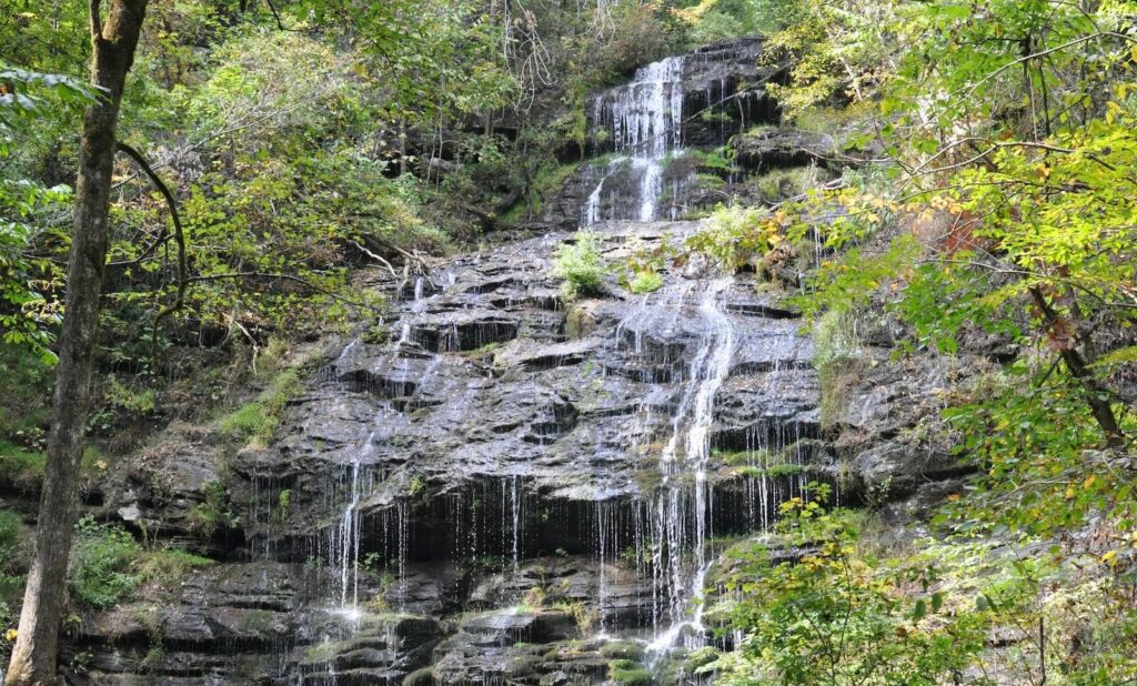
There’s a lot of room at the base of this 60-foot waterfall, so it’s another great spot to stop for snacks, but Oconee Station also has a picnic area if you’d prefer to sit at a table. There are also restrooms at the site.
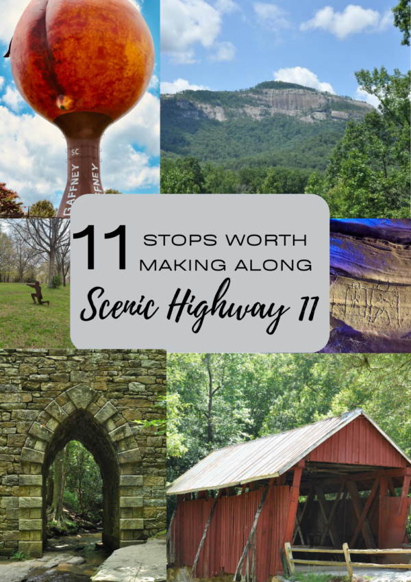



[…] my favorite part about Oconee Station is Station Cove Falls. Right across the road from the historic buildings begins a 1.5-mile path (3-mile round trip) that […]