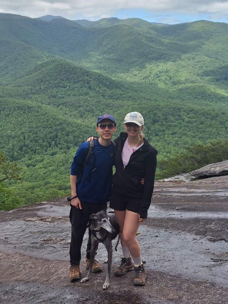
Looking Glass Rock Trail is one of the most popular hiking trails in western North Carolina. It’s easy to get to, easy to follow, and rewards you with clear views of the Blue Ridge Mountains after a 1,700-foot elevation gain in 3.1 miles.

What to know about Looking Glass Rock Trail
The trail is a straight 6.2-mile out-and-back that takes you to its namesake, Looking Glass Rock, a monolith that faces the Blue Ridge Parkway. It gets its name for how it shimmers and reflects the sun after a rain or when ice freezes to its surface.
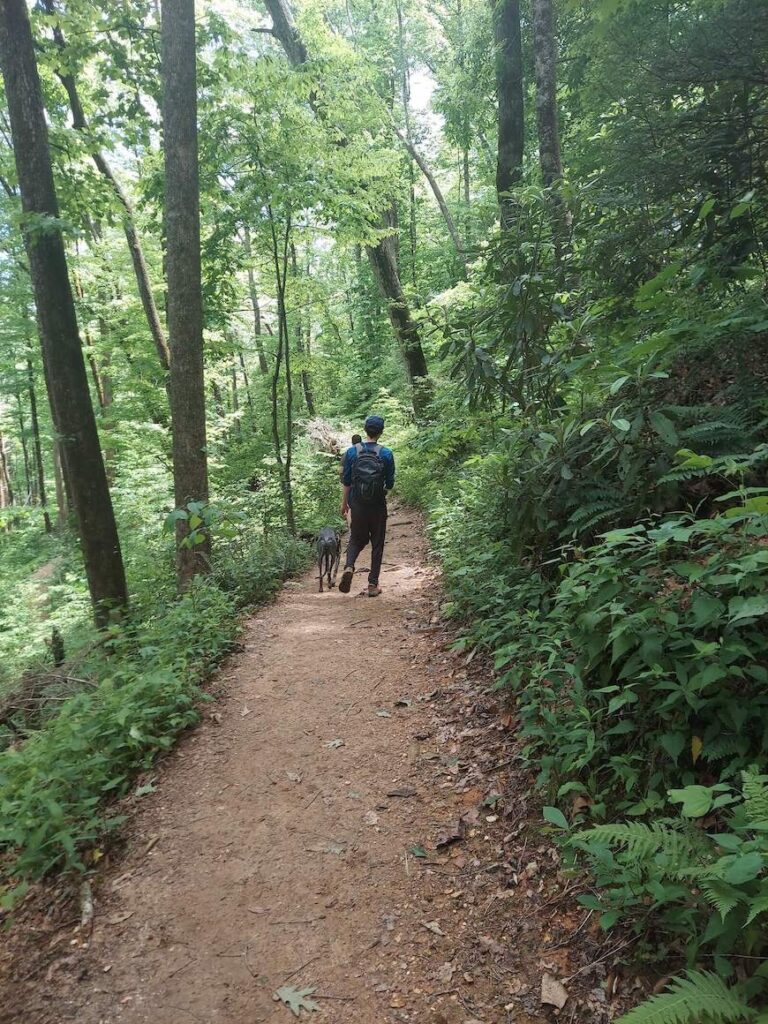
It starts fairly smooth and clear with plenty of switchbacks in the first half. As you get closer to the top, it narrows, becoming more like a trench with some rocks to climb over. It’s nothing too technical, but it’ll definitely slow your pace. It can also be tough on the knees going back down. Hiking poles would have come in handy.

The trail was also rather muddy and wet when we went. Our hiking boots held up well, but it would’ve been an easier hike if the trail was dry.
The biggest problem with wet conditions is at the top. The trail ends at the monolith where it’s just a bald rock sloping down. When I first hiked it, I had no problem walking across the rock. But the rain runoff made it slick enough that my feet slipped a little bit, even with sturdy hiking boots on. It was not a day to inch closer to the edge. If you’re not a fan of muddy trails or don’t have good hiking boots, check AllTrails before heading out to see if anyone has reported recent conditions.
The trail itself isn’t all that exciting. Probably the most interesting part is about 2 miles in, where you’ll come across an open rock slab to the left with a white H painted on it. This serves as an emergency helicopter pad and is a good spot to take a break. If you’re not looking for it, it can be easy to miss. But really you’re hiking for the views at the end on Looking Glass Rock.

We spent just over 4 hours on this hike, which included stops along the way. Actual hiking time was about 3 hours and 15 minutes.
Be prepared for crowds
I’ve mentioned that this is a popular trail, which is really just code for “busy.” If you’re the kind of hiker that likes peace and quiet and would prefer not to see a single soul, then this trail probably isn’t for you. Especially if you’re going on a weekend or if you’re starting later in the day.
We went around 11 a.m. on the Saturday of Memorial Day weekend, which is probably about as crowded as it gets. But even then there were still plenty of times along the path where we were all by ourselves. And by the time we left around 3 p.m. it seemed to be clearing out, so you may luck out with fewer people if you start later in the day.
Getting to the Looking Glass Rock Trailhead
The trailhead for Looking Glass Rock is about an hour from Asheville in the Pisgah National Forest by Brevard, NC. You’ll enter the forest along 276 (Pisgah Highway) and pass the ranger station, which is a good time to stop for a restroom break, since there aren’t any bathrooms at the trailhead.
After about 5 miles on 276, you’ll take a left onto Fish Hatchery Road. From there it’s only about another half mile before you’ll see the parking lot for the trailhead on the right.
The entire road is paved, so no worries if you don’t have a four-wheel drive. And for those of you who are prone to car sickness like me, there aren’t any switchbacks along the route.
The parking lot for the trail fills up fast, but you can also park alongside the road.
Stop by Looking Glass Falls

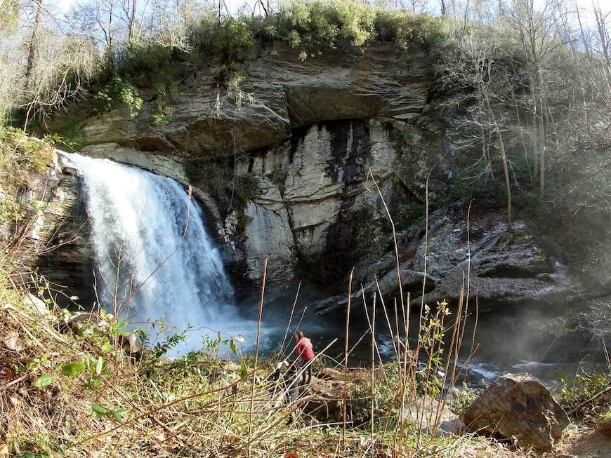
After your hike, head back down Fish Hatchery Road and turn left onto 276. About a half mile down the road you’ll find Looking Glass Falls, a 60-foot-tall waterfall and one of the most accessible in the region. Parking is only available on the right side of the road before the falls. While you can view the falls from the road, there are stairs leading down to the base.


