If you’re looking to see some fantastic waterfalls in the western Carolinas, then DuPont State Forest is a must visit.
Located about an hour from both Greenville, SC, and Asheville, NC, DuPont State Forest boasts six waterfalls in its 10,000-plus acres. In this blog post, we’ll walk through a popular 3ish-mile hike that takes you to see three of the falls, but if you’re up for a little more mileage and exploring, you can tack on another 8 miles and see two more.
Parking and Starting the Hike
If you’re doing the shorter hike, you’ll want to park at Hooker Falls access area/Triple Falls Parking. Get there earlier in the day because it can fill up, especially on weekends. We started our hike from that lot at 9:40 a.m. on a Saturday and by the time we finished around 3 p.m. the lot was full.
If you’re doing the longer hike, you could also park at Guion Farm or the Lake Imaging lots, as both are along the route (see map below).
Three Waterfalls Hike (3-4 miles total)
Hooker Falls
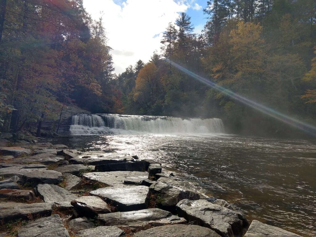
Our first waterfall is the shortest and is also the shortest distance to reach.
From the Hooker Falls access area/Triple Falls parking lot, get on Hooker Falls Road and follow it as it runs along Little River. The quarter-mile path ends at Hooker Falls (told ya it was short!).
Triple Falls

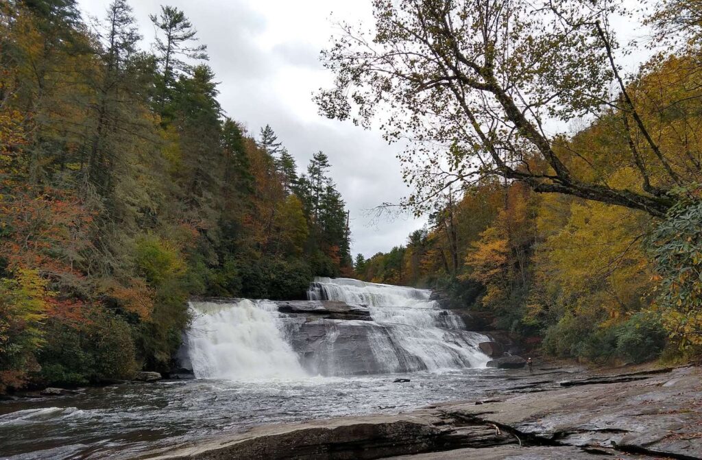
From Hooker Falls, go back down Hooker Falls Road and turn right onto Triple Falls Trail. Take the bridge over the river and cross Staton Road. Stay on Triple Falls Trail for about 0.3 miles and you’ll reach the lookout for Triple Falls. If you want a closer look, continue a little further up the trail and you’ll find the steps that will take you down to the falls.
High Falls

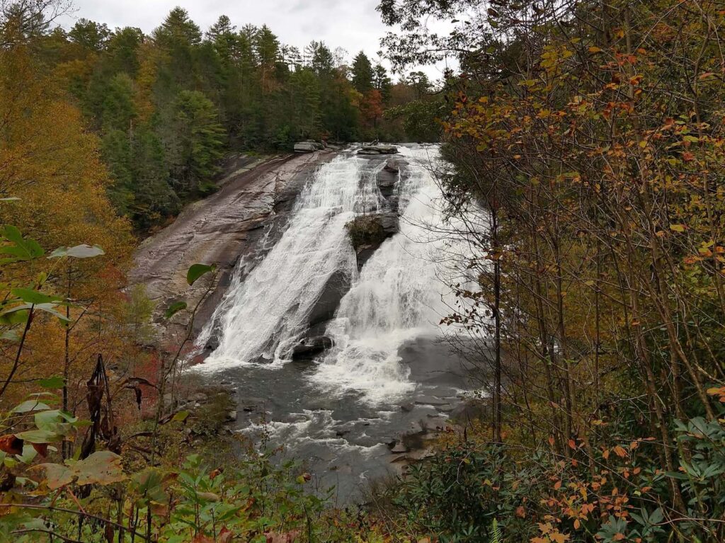
Our next waterfall is High Falls. Get back on Triple Falls Trail and stay to the left when you reach a fork along the path to continue onto High Falls Trail, which follows along Little River. After about a quarter mile from the fork you’ll come to another fork. If you want to see the base of High Falls, stay to the left to continue onto River Bend Trail, which is about a quarter-mile one-way spur. Or you can continue onto High Falls Trail to the right, which will take you to the High Falls overlook.

Bonus: High Falls Covered Bridge
High Falls completes the three waterfalls hike. If you do it as a straight out-and-back, you’ll log around 3 miles. The addition of the River Bend Trail to the base of High Falls brings it up to around 3.5.
If you’d like to diversify the scenery on your return trip, you could continue on High Falls Trail from the lookout until it meets Triple Falls Trail again, and take Triple Falls Trail all the way back to the start. That only increases your mileage by about a tenth of a mile.
Or if you’re up for another mile of walking, a half mile from High Falls Overlook is the High Falls Covered Bridge. Just stay on High Falls Trail until you come to Covered Bridge Trail on your left and take that to the High Falls Covered Bridge. Then reverse course or take the option just mentioned where you follow Triple Falls Trail back.
Five Waterfalls Hike (11 miles total)
To extend your hike and see two more waterfalls, follow the directions to High Falls Covered Bridge as mentioned above.
Grassy Creek Falls
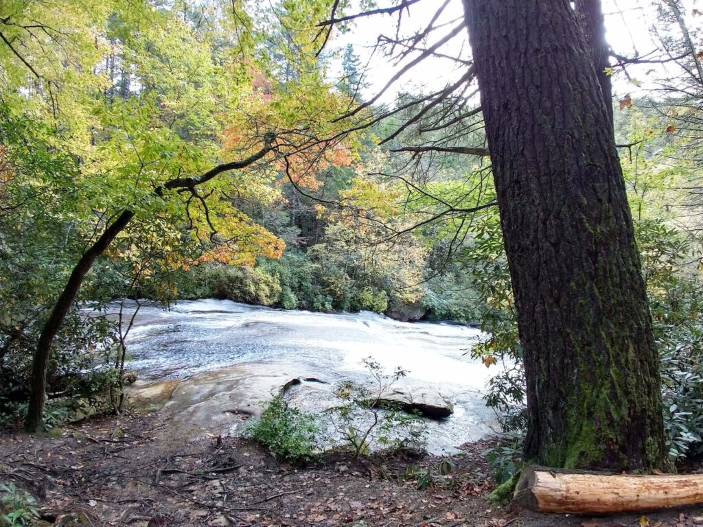
From High Falls Covered Bridge on Buck Forest Road, continue down the road to where it meets Lake Imaging Road. Turn left onto Lake Imaging Road, and in about 400 feet you’ll find Hilltop Trail on your left. Take Hilltop Trail and then turn left onto Grassy Creek Falls Trail, which will take you to Grassy Creek Waterfalls.
Wintergreen Falls
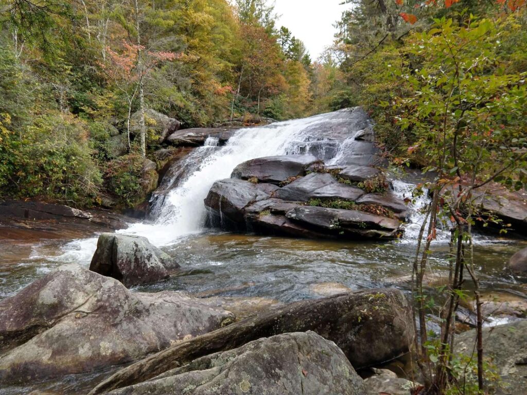
To reach our final waterfall of the hike, reverse course from Grassy Creek Falls back to Buck Forest Road and continue on it until it forks with Thomas Cemetery Road. Turn right onto Thomas Cemetery Road until it reaches Tarkiln Branch Road. Take Tarkiln Branch Road for about a quarter of a mile and Wintergreen Falls Trail will be on your right. Get on Wintergreen Falls Trail and shortly after passing Grassy Creek Trail you’ll see a spur on the right, which will take you to Wintergreen Falls.
Completing the Hike
To complete this hike, you’ll continue going clockwise around the forest. Backtrack on the little spur from Wintergreen Falls and continue on Wintergreen Falls Trail to the right. This will take you back to Tarkiln Branch Road, which you will continue on past the Guion Farm parking lot and across Buck Forest Road where it will turn into Hickory Mountain Road. Hickory Mountain Road will dead-end into Ridgeline Trail. Turn left onto Ridgeline and stay on it until you reach Lake Imaging Road.
If you want to see Lake Imaging, you can make a left and it’s a short walk from the trail. Otherwise, continue on Lake Imaging Road until you reach the parking lot off Staton Road. At this point, you’ll take a left onto Staton Road straight back to Hooker Falls access area and complete the hike.
AllTrails clocks this hike at 11.2 miles with about 1,150 feet in elevation gain. It took us just over 4 hours of hiking, but after stopping to eat and look at waterfalls, we spent almost 5 hours in the forest.
